Google Photorealistic 3D Tiles
The most beautiful thing on this list: whole cities as real meshes. The catch is that you rent it, not own it. No caching, no offline, the logo always on screen.
PAID · Proprietary · ~1K free sessions/mo, then pay
access to tools
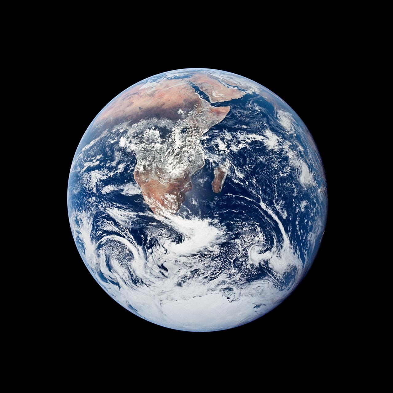
We can already see the whole Earth. What we lack is the parts list. This catalog is my attempt to write one: where the buildings, the ground, the weather, and the traffic come from, who owns them, and what it takes to put them on a globe of your own.
This catalog is a buyer's guide for a planet. Read it to learn which data is worth fetching, where it lives, and what strings come attached.
An item is listed if it is useful for modeling the planet, relevant to independent builders, high in quality, and either open or honestly priced. Restrictions are printed, not buried.
Each issue adds a layer. When the live globe arrives, every entry becomes a switch: click it and that layer lights up on the Earth.
The most beautiful thing on this list: whole cities as real meshes. The catch is that you rent it, not own it. No caching, no offline, the logo always on screen.
The big merged pile: OSM, Microsoft, Google Open Buildings and others, about 2.5B footprints in GeoParquet. Free and well documented, but you do the tiling yourself.
Every building in OpenStreetMap, extruded worldwide. The data is open; the hosting's free plan covers only non-commercial use.
Machine-traced roofs for places the mappers haven't reached yet. A good gap-filler; heights are sparse.
The best free global 30 m surface, sitting on AWS. Commercial use allowed. Convert it to quantized-mesh yourself.
The old reliable. Public domain, but it stops at 60°N and has voids.
1 m lidar for the US. Gorgeous, but it's a project, not a plug-in.
Plug-and-play, high quality. Commercial use means paying.
A new 10 m picture of the planet every few days, free for anyone. Clouds are your enemy.
Fifty years of the Earth's diary at 30 m. The best tool for time-lapse storytelling.
Daily global snapshots, browsable by date. Pick any day and see the sky that day.
Looks great and asks no key. It's still Esri's house, with terms that limit commercial and bulk use.
Billions of crowd photos under CC BY-SA with a free API. Coverage is patchy but real.
The gold standard, inside Google's rules: no storing frames, per-load pricing.
Smaller, community-run. The one to watch in Europe.
Lovely imagery, locked inside MapKit. Can't go on your own globe.
The raw firehose of American forecasting, public domain on AWS. GRIB files mean plumbing.
The world's best model, now open.
The friendly front door to all of the above, in clean JSON, historical records included.
Solar angle for any place and moment. Pure math, no API at all.
Every bus and train that agencies publish. One license per agency.
Real congestion, metered and caching-limited. The one layer with no good open source.
Live planes. adsb.lol is commercial-friendly; OpenSky is non-commercial only.
Ships. AISStream is free but beta with ocean gaps; Spire is paid satellite AIS.
What any web page looked like on a given day. The internet's own time machine.
Events, births, and deaths for any date, in a tidy feed.
Global news events, geocoded, every 15 minutes since 2015.
What a gallon and a dollar were worth, from public statistics series.
Exported from the phone that recorded it: visits, trips, and raw points as JSON.
Originals from Takeout or privacy.apple.com; exiftool pulls GPS, time, and which way you faced.
Account exports give you GPX routes and workout tracks.
Swarm, Uber and friends offer data downloads; GDPR/CCPA requests cover the rest.